 Enesgy
[threecol_two]
Access current data where and when you need it, and provide up to date information to contractors and field crews
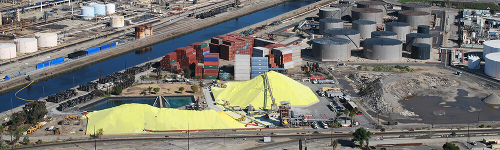
By linking drawings, diagrams, photos, and reports to their actual geographic locations, port staff can confidently retrieve data for their next engineering project, emergency repair, or maintenance work. The NSG Port Solution contains tools for attaching such documents to points, lines or areas on the port’s digital map, and either uploading the documents to a port server, or linking the locations to the documents in a Document Management System. Documents can then be searched by project or document name or by a location on the map, and shared with the necessary parties.
In this way, ports reduce liabilities associated with providing staff and contractors outdated information, as well as reduce costs associated with re-acquiring the information. In this way, hundreds of thousands or even millions of dollars in repairs, disruptions to operations, or litigation can be saved.
The Port of Stockton, for example, uses the NSG Port Solution to scan and catalog its CAD drawings based on their location on the map. The Port of Tacoma uses the NSG Port Solution to also catalog photos taken in the field. This also improves collaboration as data collected by environmental staff can also be shared with maintenance staff, and photos captured by maintenance staff can be accessed by security staff.
When combined with NSG Port Solution’s procedures, tools, and training materials for exchanging data between GIS and CAD software, NSG Port Solution provides a powerful means for maintaining the most up to date geospatial database and information related to it.
Click here to learn more about the NSG Port Solution at the Port of Stockton.
Click here to learn more about the NSG Port Solution at the Port of Tacoma.
[/threecol_two][threecol_one_last]
[content_block id=5492]
[content_block id=5451]
[/threecol_one_last]